
For over 25 years archaeological efforts have been ongoing to delineate where potential prehistoric trails exist across the landscape of southern Ontario. Trails were created and used by the earliest inhabitants of the region after glaciers disappeared some 15,000 years ago. One of the roles for a trail system was to help keep people alive.
The challenge to identify the existence of these trails is that they existed approximately 10,000 years ago. The primary region for this research has been Haldimand-Norfolk County. In the past seven years the search for prehistoric trail systems in these two counties has become increasingly intensive as part of the Haldimand-Norfolk Archaeological Regional Project (HNARP) http://www.hnarp.ca/ .
The premise of the regional project is to better understand how early people lived and managed their lives on a landscape once rich with animal, plant, and raw resources such as rock for making stone tools.
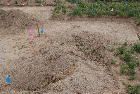
A critical activity that has assisted this regional project is permission to walk over farm lands from supportive agricultural land owners to help find these trails. Access to farm lands assists archaeologists to identify where people lived in the region. The land mass of the two counties combined covers approximately 2,000 square kilometers.
Historically, it was always possible to read information written down and recorded about trails in the region. This would include place names and popularly used trails. Even oral history in Haldimand County by senior land owners some 30 years ago mentioned trails used by people to walk across the landscape to neighbouring farms, villages, and the shores of Lake Erie.
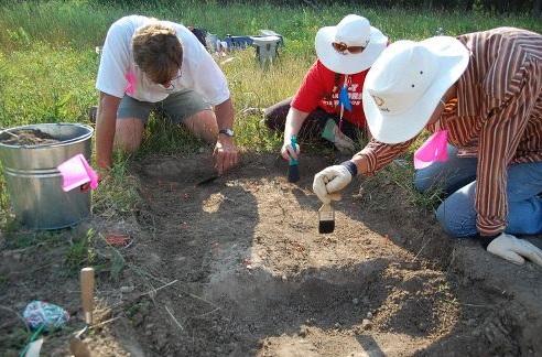
To date, archaeologists have identified artifacts left behind by people still exist after 10,000 years of changes to the landscape. One piece of evidence has been the type of stone used for making tools. Throughout the world people searched out different types of rock for making stone tools.
In Haldimand County, chert formations created over tens of millions of years ago can be found. These chert formations have different identifying markers such as colours and fossils that make chert distinct from others. It is these identifying markers that help chert to be identified from its original source and help to develop new evidence to show where and when people lived and crossed the landscape.
It is hoped that finding and identifying the different colour cherts and fossils in the rock will help archaeologists piece together Haldimand-Norfolk County’s long forgotten past. For the Silo, Lorenz Bruechert.
Leave a Reply
You must be logged in to post a comment.